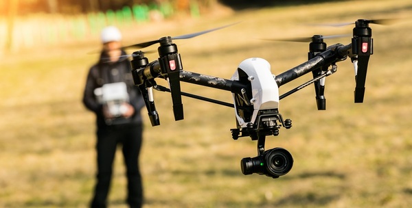
The construction industry is falling madly in love with drones for a lot of reasons. Drones can get data that previous collection methods could never get, and drones can offer views of a project that were impossible in the past. Drones can also help a construction company to collect more data for less cost, which is always a popular idea for construction companies.
Using a drone is one thing, but knowing how to utilize all of the data a drone captures is quite another. If any construction company wants to get the maximum cost savings from their drone usage, then they need to know how to properly analyze and use the data that is collected.
Drones can save your construction company money, but only if you know how to get accurate data from every drone survey.
What Kind Of Data Can You Get?
Drones can help to gather data that can create a wide variety of helpful maps and charts. Data gathered from land surveys can be used to make accurate topographical maps, while job progress data can be used to create 3D models that help project managers to better gauge progress. That 3D data can also be used to create 3D models of the project to show to project owners, which is much more effective than handing project owners a paper report.
Drones can be used to monitor the use of supplies and trigger accurate buying cycles that save money, and they can be used to detect problems in a project while those problems can still be solved. A drone can also collect data that will show safety concerns on a project and decrease the costs due to accidents on a job site.
How Reliable Is Drone Data?
While drones can make life easier on construction companies, it is dangerous to take the data at face value. There are plenty of factors that can create unreliable data from drone surveys. As a drone collects data and photographs an area, there can be an overlap issue that could create problems when trying to read the data. If the drone is going to fast when surveying, the data could be distorted or even rendered useless.
Every drone survey needs a point of reference, but even a good point of reference can make collecting accurate data difficult. A single drone survey relies on reliable points of reference to give the data the proper scale. This is called internal accuracy, and an improper scaling of the internal accuracy of a drone can create inaccurate data.
If you are going to start using drones for your construction company, then plan on investing in the services of real drone professionals.
How Do You Get Accurate Data?
For construction companies, the best way to get accurate drone data is to work with a professional drone company that specializes in the types of surveys you need. If you need land surveys done, then use a drone company that has experience in that type of work to get accurate data. Too many construction companies try to save money by having their drone work done in-house, and the results can often be disastrous.
If you want to learn more about how drones are changing the construction industry, then start a course with PDH Contractors. The library of current information available at PDH Contractors will keep you updated on the latest trends in construction, and you can also find all of the information you need to maintain or renew your contractors license for your state.